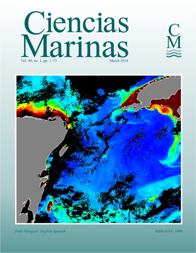
Chlorophyll-a patterns and mixing processes in the Yucatan Basin, Caribbean Sea
Main Article Content
Abstract
Daily images collected with the MODIS sensor on the NASA Aqua satellite were used to describe chlorophyll-a (chl-a) concentrations before, during, and after synoptic-scale meteorological pulses in the Yucatan Basin, Caribbean Sea. The relative influence of vertical diffusive and vertical advective transport on mixing of the near surface layer was quantified with wind data from the QuikSCAT satellite. Computation of vertical density eddy diffusivity and gradient Richardson numbers was done with data from the three-dimensional MERCATOR model. The model evidenced the importance of vertical shear (i.e., vertical diffusive processes) in generating mixing during autumn and winter (2007–2009). During moderate meteorological pulses (e.g., cold fronts, easterly tropical waves, and low-pressure systems with wind speeds of 9–15 m s–1 sustained over 2 days), mixing caused by diffusive transport (eddy viscosity of 10 × 10–3 m2 s–1) was at least one order of magnitude higher than upward advective mixing (0.3 × 10⁻³ m2 s–1). During the passage of hurricanes Ivan (September 2004) and Wilma (October 2005), upward advective mixing (5–7 m2 s–1) dominated mixing of the upper water column and was nearly four orders of magnitude higher than during moderate meteorological events. Background chl-a concentrations of 0.03–0.08 mg m–3 were observed during the July–October period. During synoptic weather pulses, three different patterns in the chl-a concentrations were observed: first, chl-a concentrations in the range of 0.05 to 0.12 mg m–3 followed moderate meteorological pulses; second, higher regional chl-a concentrations (0.5–2.0 mg m–3) followed the passage of hurricanes; and third, the formation of filaments showing apparent high chl-a (0.3–1.5 mg m–3) south of Cuba, possibly caused by freshwater discharge from land. The changes in chlorophyll patterns following meteorological events illustrate typical patterns of connectivity among different parts of the Yucatan Basin.
Downloads
Article Details
This is an open access article distributed under a Creative Commons Attribution 4.0 License, which allows you to share and adapt the work, as long as you give appropriate credit to the original author(s) and the source, provide a link to the Creative Commons license, and indicate if changes were made. Figures, tables and other elements in the article are included in the article’s CC BY 4.0 license, unless otherwise indicated. The journal title is protected by copyrights and not subject to this license. Full license deed can be viewed here.

