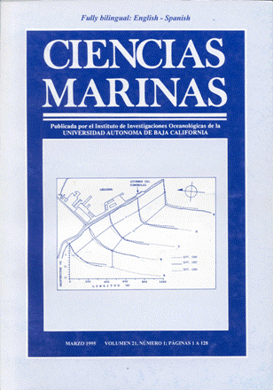
Profile analyses in front of the breakwater in Ensenada, B.C.
Main Article Content
Abstract
Four bathymetric surveys were conducted in front of the breakwater in Ensenada, B.C., during 1990 and 1991. Five profiles were projected perpendicular to the structure for each survey. A seasonal pattern of erosion was found in winter and deposition in summer. The bathymetry shows an accumulation of sediment in the adjacent beach in December, and at the base of the deflection during the entire year, due to the rocks that have fallen from the structure’s support. The bathymetric profiles of December and February (winter) show greater erosion from 15 to 20 m seaward than in the other months. The December profiles A, B and C show sediment accumulation near the breakwater. These processes of erosion in the deeper depths and sediment accumulation at the base of the breakwater cause the storm waves that are produced in this season to maintain their energy when approaching the breakwater, and upon reaching this zone, the sediment bed serves as a ramp for them to slip over the armor stone and flood the harbor. In comparing the profiles of 1984 and 1987 with those from this study (1990), an increase in depth is observed from the base of breakwater to approximately 200 m seaward, allowing the waves to reach the breakwater with more strength, than if that decrease in depth were more gradual. This increase in depth extends from the beginning up to half of the breakwater.
Downloads
Article Details
This is an open access article distributed under a Creative Commons Attribution 4.0 License, which allows you to share and adapt the work, as long as you give appropriate credit to the original author(s) and the source, provide a link to the Creative Commons license, and indicate if changes were made. Figures, tables and other elements in the article are included in the article’s CC BY 4.0 license, unless otherwise indicated. The journal title is protected by copyrights and not subject to this license. Full license deed can be viewed here.

